-
![]()
Whose Woods are These?
Kibale National Park, Uganda
In the process of being published, this collaborative research project works to understand the shifting trajectory of a rural landscape in Western Uganda and hear the perspectives of people living in the thick of a tree-planting boom.
Presented at FLARE2022 in Rome, Italy.
-
![]()
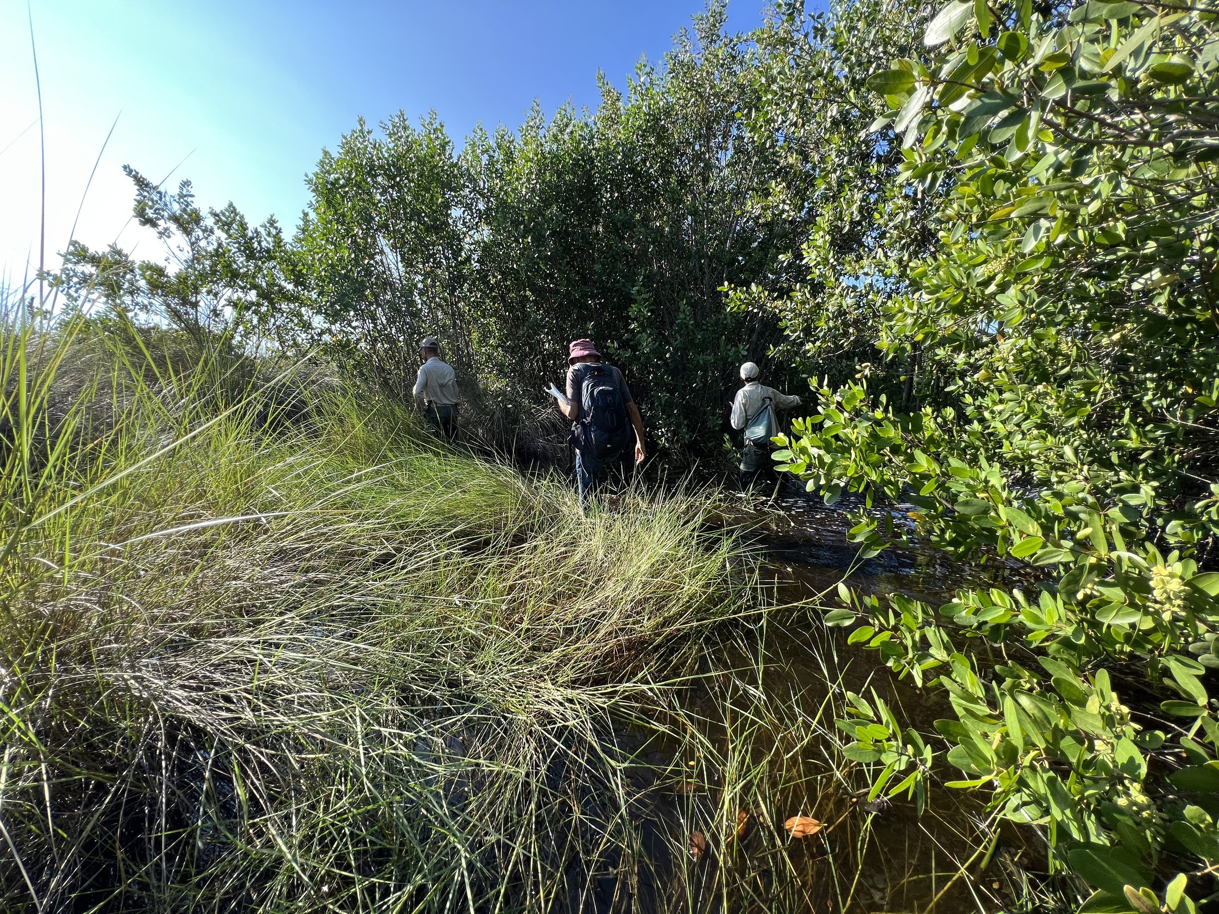
Ground to Cloud
Naples, Florida
Over the past two years, botanist and herbarium director, Dr. George Wilder, has been diligently conducting a floristic inventory of this area and has since identified over 568 unique native and non-native plant species. Thus, in collaboration with members of our Conservation and Natural Resources Team, the boundaries of seven unique habitats were identified, walked, and diligently mapped out using high accuracy GPS unit and drone-captured orthomosaics.
Note: The formal research paper is set to be published in 2023-24.
-
![]()
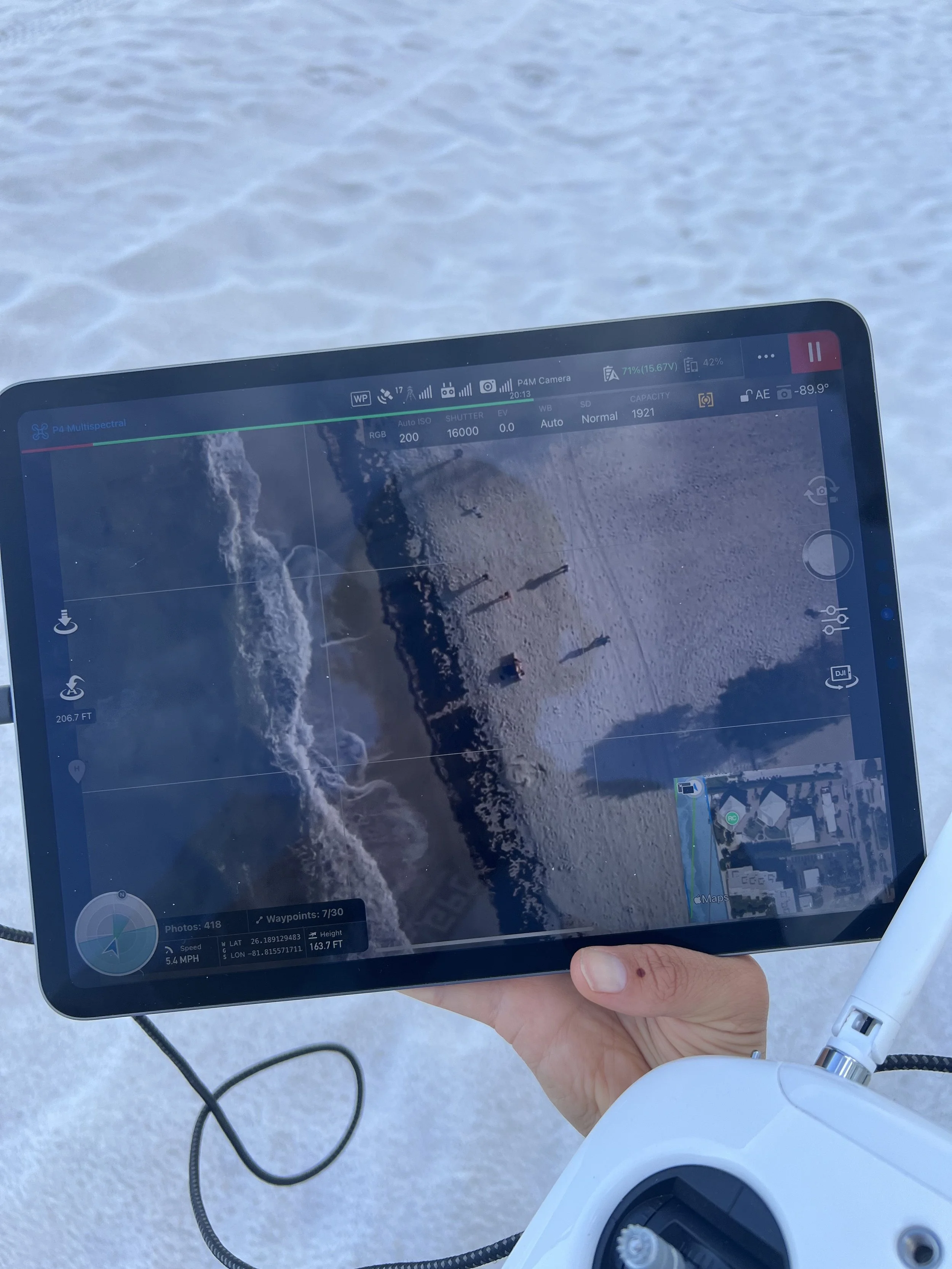
Coastal Restoration & Resiliency
Southwest Florida
After Hurricane Ian barreled through South Florida, scientific researchers have been focused on documenting the aftermath and discovering actionable ways costal communities may become more resilient..
The intention of this project specifically, is to inform restoration interventions following destructive storm events to quickly rebuild and/or stabilize beach dunes by documenting vegetation composition and species resurgence overtime.
Note: This research is ongoing.
-
![]()
Erasing the Line: Mapping Indigenous Community across the US-Canada Border
Middlebury, Vermont
North American settler colonialism is not a historical event, but an ongoing process that strives to silence the continued presence of the original Indigenous inhabitants in the United States and Canada. The map, Erasing the Line, attempts to challenge the primacy of existing sovereign states by showing contiguous Indigenous community across the US–Canada border. This subversive visualization is inspired by nationalist maps and uses official census data to challenge the settler state narrative from within.


Previous
Previous